
Aerial imaging is changing how we build. From skyscrapers to single family homes and outdoor spaces, this technology helps construction projects in many ways. It makes planning more accurate and efficient, it increases site safety, and helps both construction companies and their clients gain a comprehensive view of the completed project.
Let’s look at how aerial imaging is shaping future construction trends and giving professionals a bird’s-eye view of their projects.
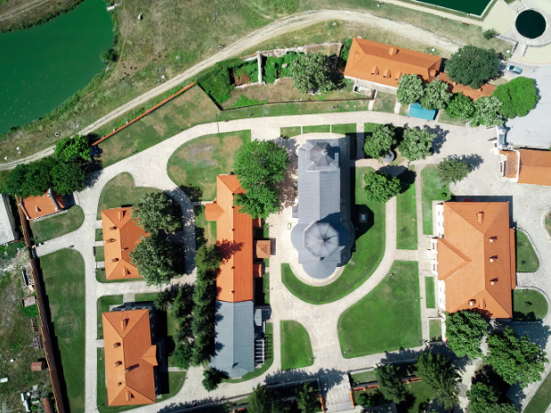
Precision Planning at a Glance
Aerial imaging provides clear, comprehensive views of construction sites. It captures the full landscape, leaving no room for guesswork. This can help in more ways than one.
Firstly, engineers and architects can use these high-resolution images to plan the development of the project down to the last detail. Additionally, in large or mega construction projects, this understanding can help coordinate different companies and specialists.
And, of course, with 3D models created from these images, construction teams can foresee potential challenges better than if they couldn’t access comprehensive views of the entire site. For example, they can notice areas where the terrain changes, an indicator of potential underground issues – which may not be visible from other viewpoints.
Faster, More Accurate Surveys of The Site
Traditional surveys take time – and they also leave room for human error! Here, where aerial imaging can make surveys quicker and more precise. These images capture data that traditional methods might miss.
For example, consider when deciding on a site for a new large building or extensive outdoor project (such as the landscaping of a new public area). This technology can survey vast areas in a short time and identify factors such as changes in vegetation and critical landscape features, such as rivers. The accuracy saves money and reduces risks. It’s like getting a cheat sheet for the terrain, helping teams make informed decisions!
Supporting Calculations and Cost-Effectiveness
Detailed aerial images are also valuable for precise calculations – which are important for construction companies and their clients alike.
For example, accurately measuring roof areas is crucial for any construction that involves roofing materials. It can help calculate what the costs will be for the client and ensure that materials are ordered and sourced in time to avoid delays.
Here, technologies like metal roof estimating software can integrate with aerial images to create more accurate cost calculations. Combined, these technologies help eliminate the guesswork in supply ordering, leading to a more management of resources.
Enhancing Construction Safety
Safety is a top concern in construction. Here, aerial imaging plays a role in managing risks, preventing issues that could be avoided, and offering an overview of the project and its risks to teams, managers, and clients alike.
Additionally, when working in high-risk areas, these technologies can monitor job sites from a safe distance, spotting safety hazards before they become serious issues. By identifying risky areas, supervisors can take action to prevent accidents.
- Pro tip: as noted above, aerial views of a site can be shared among the parties involved to improve communication and collaboration. In turn, teams that work harmoniously together can help reduce risks for all of the parties involved.
The Future of Construction Has a Different Viewpoint
Aerial imaging is transforming how construction projects are planned and managed, offering enhanced accuracy and real-time site data. When combined with tools like BIM clash detection, teams can identify and resolve design conflicts early in the process. This integration leads to smoother coordination, reduced delays, and more efficient builds.
So, for companies in the sector, incorporating aerial imaging into projects means staying ahead in the construction game, boosting their reputation, and surpassing the competition in terms of quality, safety, and cost-effectiveness.